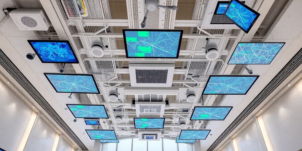
Researchers at the Indian Institute of Technology (IIT) Madras have made a significant breakthrough with the development of UbiqMap, a wireless indoor mapping technology designed to enhance disaster response efforts. This innovative system operates effectively in various environmental conditions, providing real-time mapping capabilities with minimal reliance on existing infrastructure.
Key Takeaways
- Technology Name: UbiqMap
- Functionality: Real-time indoor mapping using Radio Tomographic Imaging (RTI)
- Key Features: Portable, dynamic system with wearable transceivers
- Applications: Disaster response, public safety, smart building management, and indoor robotics
- Current Status: Successfully tested at IIT-Madras, patent filed, and peer-reviewed publication
The Technology Behind UbiqMap
UbiqMap utilizes a technique known as Radio Tomographic Imaging (RTI), which leverages radio frequency (RF) signals to create accurate floor maps of indoor spaces. Unlike traditional RTI systems that depend on a fixed network of wireless transceivers, UbiqMap introduces a more flexible approach:
- Wearable Transceivers: Rescue personnel wear these devices, which automatically track their movement and location.
- Real-Time Updates: The system continuously updates the layout of the building, ensuring that responders have access to the most current information.
Addressing Challenges in Disaster Management
One of the critical challenges in disaster management is the lack of accurate and up-to-date indoor maps during emergencies. Ayon Chakraborty, the assistant professor leading the project, emphasized that UbiqMap addresses this issue effectively. The technology is particularly valuable in scenarios where traditional mapping solutions fall short, such as:
- Poor Lighting Conditions: UbiqMap operates independently of visual line of sight.
- Cluttered Environments: It can function in spaces that are structurally compromised or poorly lit.
Testing and Future Enhancements
The research team conducted successful tests of UbiqMap within controlled settings on the IIT-Madras campus, demonstrating its reliability in imaging indoor spaces. Future enhancements are underway, focusing on:
- Balancing Radio Frequency Choices: To optimize resolution and indoor penetration.
- Sensor Fusion: Integrating visual inputs to improve mapping accuracy.
- Wearable Prototype Development: Creating a prototype for real-world field trials.
Broader Applications and Impact
UbiqMap is not only poised to revolutionize disaster response but also has potential applications in various fields, including:
- Smart Building Management: Enhancing operational efficiency in commercial buildings.
- Indoor Robotics: Assisting robots in navigation and task execution.
- Warehouse Navigation: Streamlining logistics and inventory management.
By providing first responders with real-time situational awareness, UbiqMap is set to become an essential tool in managing high-risk, time-sensitive operations. Its affordability and adaptability make it a promising solution for both emergency and commercial use cases, paving the way for a safer and more efficient future in indoor mapping technology.
Sources
- IIT-Madras develops ground-breaking wireless indoor mapping technology for disaster response, Times of India.
Read More:
what level of system and network configuration is required for cui
why are mobile devices critical to a digital forensics investigation?
what are some long-term consequences of not learning to save while you’re young?

Founder Dinis Guarda
IntelligentHQ Your New Business Network.
IntelligentHQ is a Business network and an expert source for finance, capital markets and intelligence for thousands of global business professionals, startups, and companies.
We exist at the point of intersection between technology, social media, finance and innovation.
IntelligentHQ leverages innovation and scale of social digital technology, analytics, news, and distribution to create an unparalleled, full digital medium and social business networks spectrum.
IntelligentHQ is working hard, to become a trusted, and indispensable source of business news and analytics, within financial services and its associated supply chains and ecosystems


